Spatial Reconstruction Workstation
Upload flight video or select a scan below to generate an interactive 3D reconstruction preview.
Flight Video Input
Single-pass drone video source
Drop Flight Video
Drag & drop or click to choose local footage
Supported: MP4, MOV, AVI, WebM (4K / 1080p)
Calibration Matrix
Upload .npy file
Flight Telemetry
Upload .csv file
Single-pass 3D reconstruction algorithms and calibrated spatial telemetry are restricted to authorized UAV survey operations and licensed geospatial research. Click to view sample scans
Benchmark Dataset Examples.
Select any verified UAV flight dataset below to load multi-angle footage, spatial telemetry, and ground truth benchmarks into the reconstruction engine.
Click any row to load an example.
| Dataset / Flight Video | Duration | Resolution | File Size | Action |
|---|---|---|---|---|
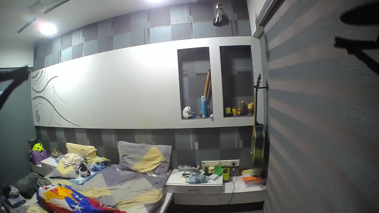 Indoor video firstvideo.mp4 | 00:57 | 1920 × 1080 | 14.3 MB | |
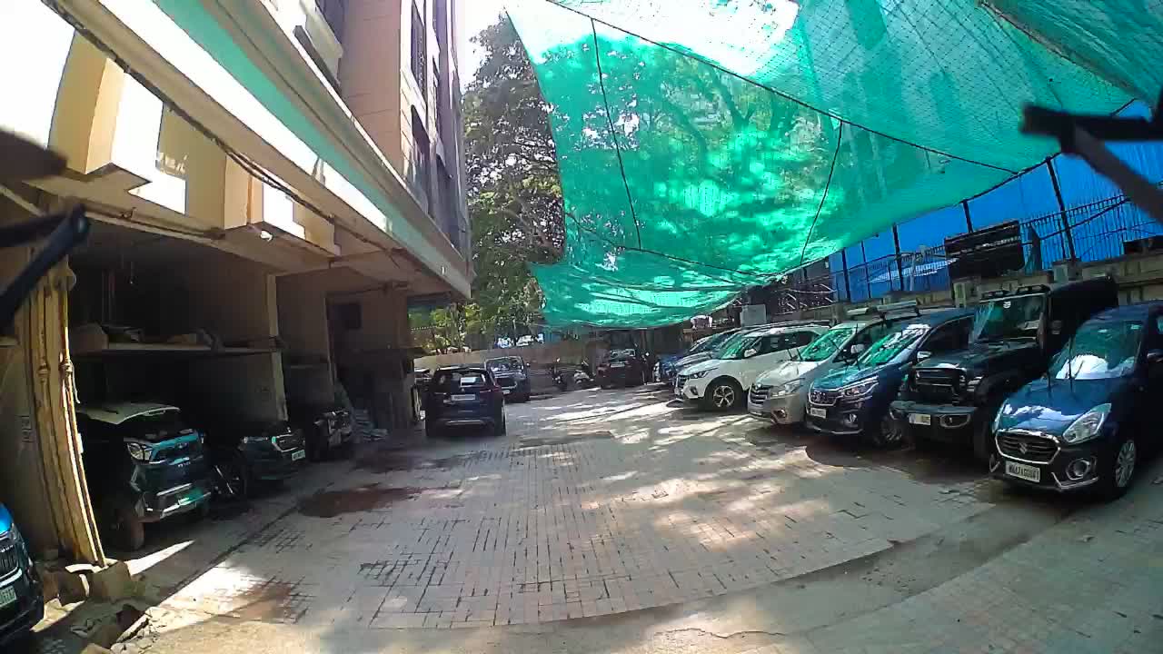 Outdoor video 1 outdoor1_video.mp4 | 00:22 | 1920 × 1080 | 5.7 MB | |
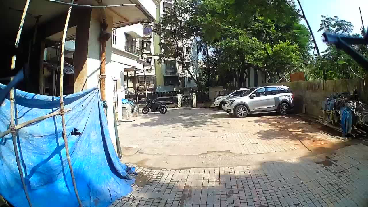 Outdoor video 2 outdoor2_video.mp4 | 00:14 | 1920 × 1080 | 10.7 MB |
Engineered for Extreme Spatial Precision.
SkyFusion unifies single-pass aerial imagery processing with robust 3D geometric scene reconstruction.
Photogrammetric Camera Calibration
Estimate intrinsic camera parameters and lens distortion from calibration imagery, establishing a consistent geometric foundation for reconstruction.
Distortion-Corrected Imagery
Correct lens distortion and normalize aerial imagery before reconstruction, preserving reliable image geometry across the processing pipeline.
Metric Scene Reconstruction
Convert calibrated aerial imagery into dense spatial geometry by combining image evidence with per-pixel scene depth and camera projection.
Multi-View Pose Recovery
Recover relative camera motion from visual correspondences using feature matching, geometric verification and robust pose estimation.
Robust Spatial Fusion
Align geometry across multiple frames while rejecting unreliable correspondences, inconsistent scale estimates and geometric outliers.
Interactive Spatial Reconstruction
Deliver the reconstructed scene as an inspectable 3D representation for spatial visualization, geometric analysis and downstream processing.
Multi-Stage 3D Reconstruction Pipeline.
Explore each stage from calibrated imagery to aligned and fused 3D point clouds.
FRAME INPUT
Prepare overlapping frames for reconstruction.
4 Steps. One Clear 3D Workflow.
From calibrated imagery to an aligned 3D point cloud through a clear, four-stage workflow.
Image Input & Calibration
Provide overlapping aerial imagery and calibrate the camera to estimate intrinsic parameters and correct lens distortion before reconstruction.
Depth & Pose Recovery
Estimate scene depth from each frame, match visual features across views, and recover relative camera motion using robust geometric verification.
3D Reconstruction & Fusion
Convert corrected imagery into 3D point clouds, align the reconstructed views, and fuse them into a common spatial representation.
Inspect & Export
Inspect the reconstructed 3D geometry and export the resulting point cloud for visualization, analysis, and downstream 3D processing.